I have got a dbf file and I want make it to raster file but the short way,
Look at my long way,
- First i add my dbf file
- and i create tin
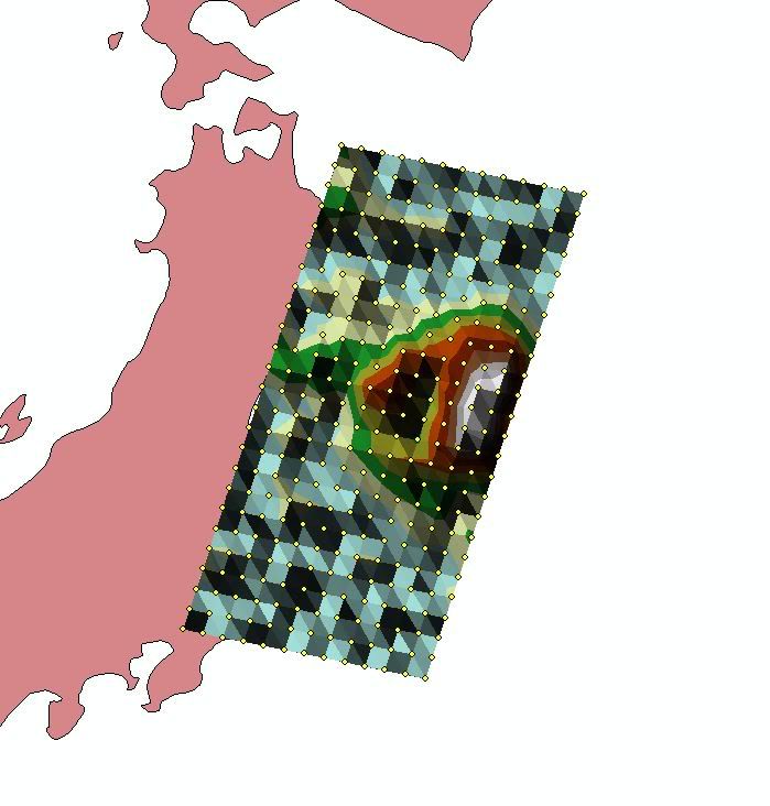
http://i1211.photobucket.com/albums/cc421/mtnkou/2.jpg - at the and my raster file (tin to raster)
http://i1211.photobucket.com/albums/cc421/mtnkou/3.jpg
How can I do dbf to raster with short way,
i don't want create tin file,
Just dbf to raster,
How can i do ?
Best Answer
Assuming your file contains XYZ cords of point features. General process to create raster from point features is: point features -> interpolation of the space between the points (depends on the typ of data you have, usually you do some trials to see what effects suits you most) -> raster.
Your procedure above (points -> TIN -> raster) is actually one of the simplest for of raster creation, as TIN is actual interpolation step.
If you want to have more control during the interpolation ArcGIS, QGIS or from command line with GDAL will offer you some other tools. QGIS mostly is the GUI for GDAL. I guess what is your main concern, is interpolation algorithm. TIN does use linear interpolation between points without any influence of the neighboring values (in my opinon most suitable for terrain), IDW on the other hand is influenced by other neighbors (which is good with statistics etc.).