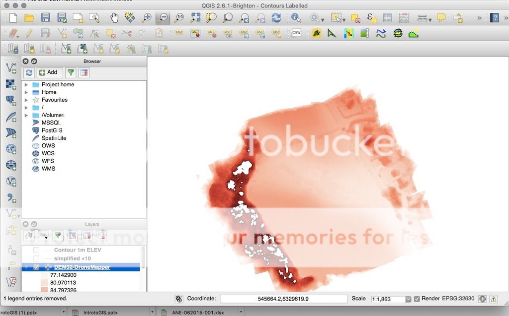
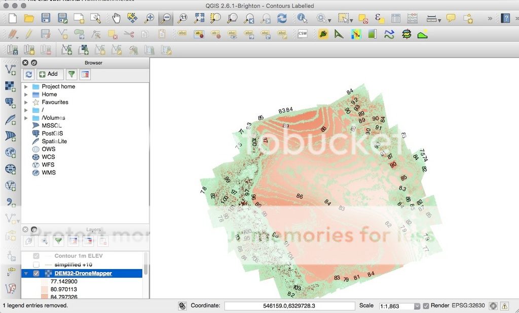
Im trying to create topographic surveys using georeferenced images from a drone and a DEM/orthomosaic which has been created using Photoscan. I've managed to create contours and label them with elevations but for the purposes of architectural design i need to show height levels at individual points which im hoping to chose myself. Below is a screenshot of my DEM, a screenshot of what i've managed to do so far and then an example of what im looking to achieve. Im fairly new to QGIS so my skills are limited (to say the least!) but can anyone tell me if this is possible using QGIS? I'd like to use open source or freeware software on Mac as i don't earn any money from the topos that i do. Finally i'd like to export the product as a .DXF for import into AutoCAD.

Best Answer
I would do it the following way:
create a new point feature (
Layer -> New Shapefile Feature)with an attribute for the elevation (Type: Decimal number). Make sure your create the point feature in the same coordinate system as your DEM.set the points where you want them (
Toggle Editing)install the plugin
Point sampling tool(Plugins -> Manage and Install Plugins...)run the . Select your manual set of points (eg. elevations_points) and the layer where to get the values from (eg. DEM). The Output point vector layer will contain your elevation values. At the tab
Sampling tool(Plugins -> Analyses -> Point sampling tool)Fieldyou can see the band. If you generate an empty attribute table, doublecheck the coordinate system of your DEM and Point layer. They have to be the same!Check your attribute table from new created file (eg. elevation_points_with_elevation.shp) display the labels (and or export the file as DXF)
Hope that helps.